The 30 billion location scans players fed into Pokémon Go have ended up in the foundations of a military drone navigation system.
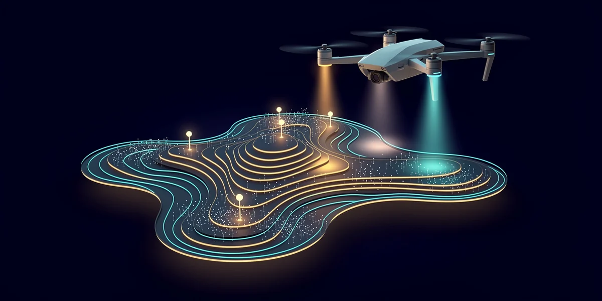
Niantic Spatial, the geospatial AI company spun out after Niantic sold its gaming business to Scopely for US$3.5bn, has partnered with Vantor, formerly Maxar Intelligence. Vantor's Raptor product uses camera and 3D terrain data to let autonomous systems find their position without GPS, the exact capability prized when signals are jammed or spoofed. The shared model is meant to run on drones, vehicles and AR glasses, with field testing slated for early 2026.
Here is the careful bit. Both companies say Pokémon Go ground scans were not provided to Vantor. Neither will say whether the model now being fielded was already trained on them. Those are not the same statement, and the gap is the whole story: a decade of players mapping their neighbourhoods, repurposed for systems they were never told about.